land surveying
We help our clients determine their land boundaries so that their imaginations can have no boundaries.
Here at BHB, we believe in sophistication from the ground up. Our land survey team is proud to employ the latest, most accurate industry technology and software, and they’re ready to use it to serve you. It doesn’t matter whether you’re looking for boundary, topographic, construction, or route surveying—we really do it all.
Do you need an aerial map, FEMA elevation certification, or a subdivision design? Look no further. We survey for everyone from municipalities to developers to private clients, and we would be pleased to see how we can lend a hand on your next surveying endeavor.
PROJECTS

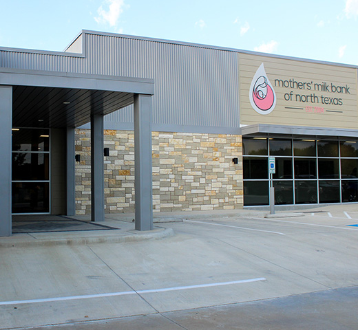
Mothers’ Milk Bank of North Texas

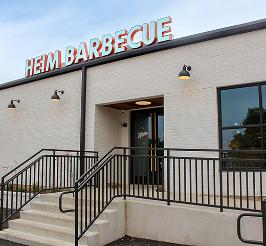
Heim BBQ


