Since BHB began offering land surveying services in 1994, the rapid rate at which the technology has changed and improved has been influential to not only the growth of the surveying department, but the growth of the entire firm.
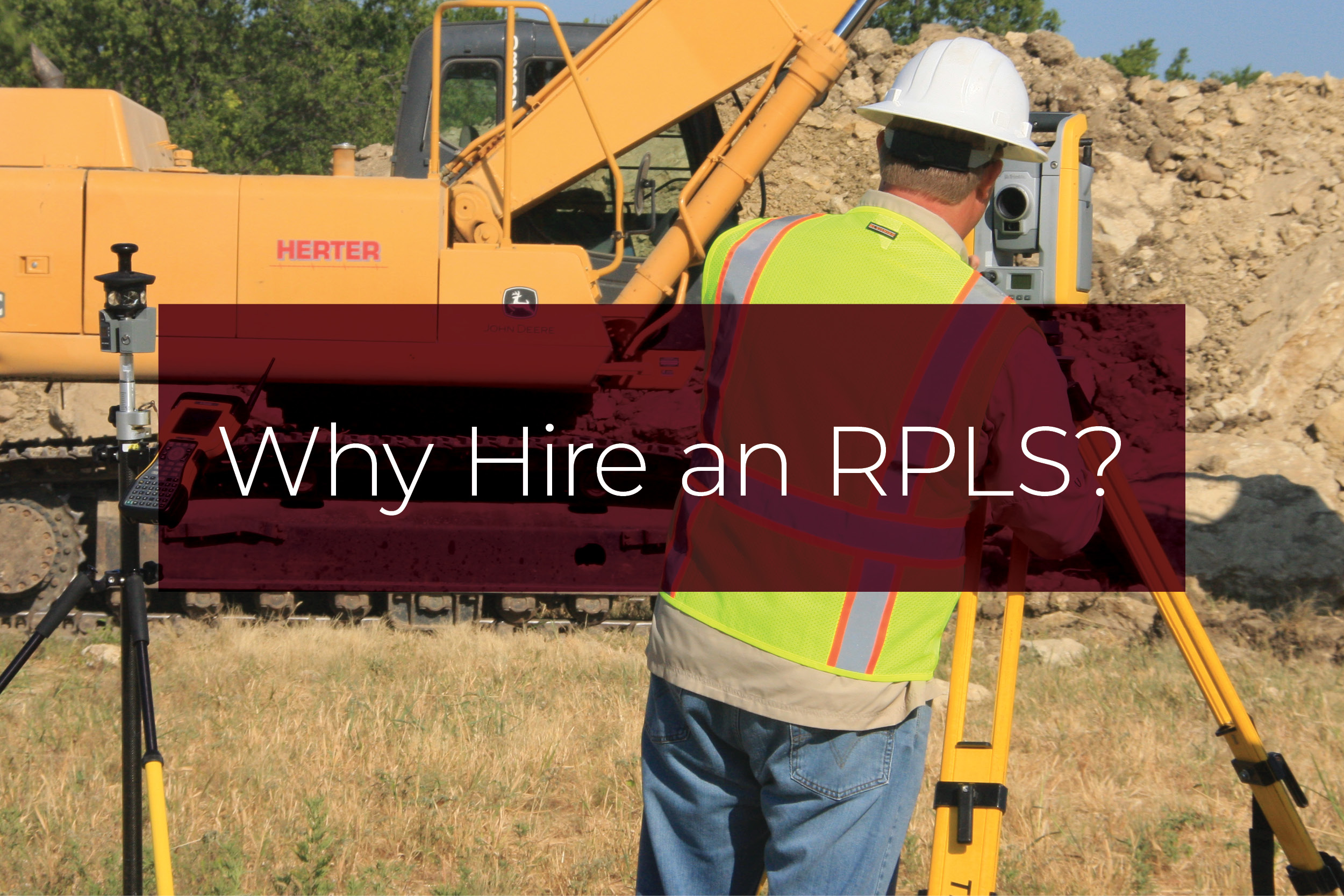
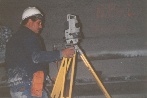
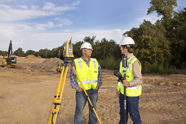
In recent years, the land surveying department at BHB has taken advantage of 3D scanning technology in order to offer high quality services for our clients, while staying in step with the continuously evolving industry. Known as the fully robotic Trimble SX10 Scanning Total Station, this specialized piece of equipment was built specifically with surveyors in mind. The system combines surveying, imaging, and 3D scanning into a single instrument with several capabilities, including topographic, roadway, infrastructure, and general surveys, power line inspection and clearance, and dimensional control.
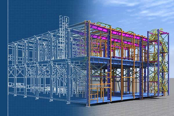
With this technology, our surveyors can capture a comprehensive 3D point cloud of a project site or building. This gives the client an almost realistic representation of what is “on the ground” at their site. It also gives the engineers and architects a more enhanced and accurate rendering from which to start their design, which reduces the amount of changes due to unforeseen circumstances as the project progresses.
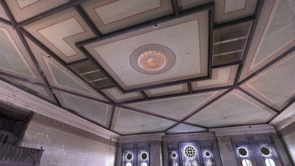
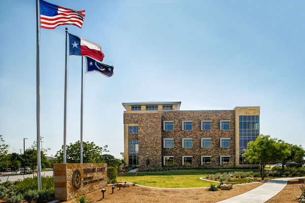
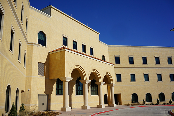
For one of BHB’s projects, we put the scanner to use in order to perform a LiDAR survey inside of the Parker County Courthouse. This survey allowed the team to view a 3D point cloud of the interior of the courtroom ceiling in order to monitor any movement and assess necessary renovations, if any, that the building needed.
“Robotic total stations and scanners allow us to accomplish the same amount of work that used to require a three to four-person field party, with just a one- or two-man field crew.” said John Margotta, Vice President of Land Surveying at BHB. “The amount of data we can collect can be used to build a realistic 3D model. We recently had a project where we collected over 31 million data points. Without the scanner and using technology from just 20 years ago, it would have taken around 100 years working seven days a week to collect and process that amount of data. Scanning technology is a game changer!”
In addition, total stations with scanning capabilities are affordable and offer all the traditional surveying capabilities in one. While many total stations have been on the market for some time, the 3D laser scanning component has drastically changed modern land surveying.
“For me, the biggest benefit of the scanner is the fact that it allows us to be safer,” stated Dave Horsburgh, BHB Associate and Senior Survey Technician. “Now, due to the scanner’s multiple functions, we can actually locate improvements in unsafe areas without placing our crew in harm’s way.”
Working closely with civil engineers, BHB’s land surveying team is always looking for ways to increase accuracy so that we can continue to provide our clients with the best possible services. The Trimble SX10 Scanning Total Station is a prime example of the rapid rate at which the surveying technology has changed and how it has greatly affected our projects for the better.


