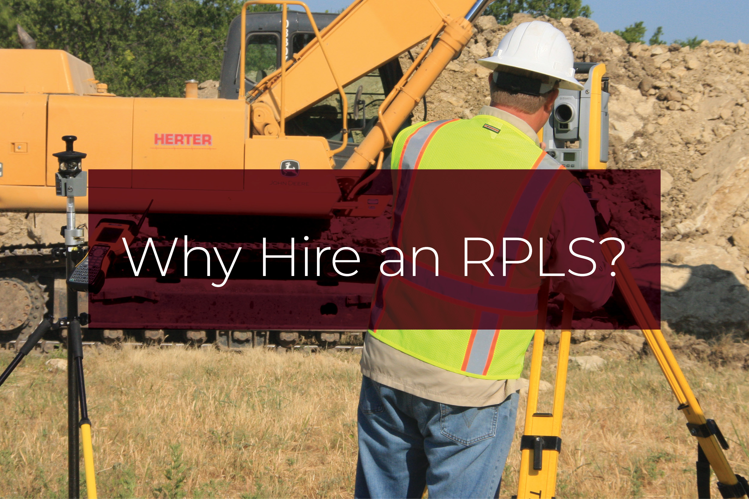
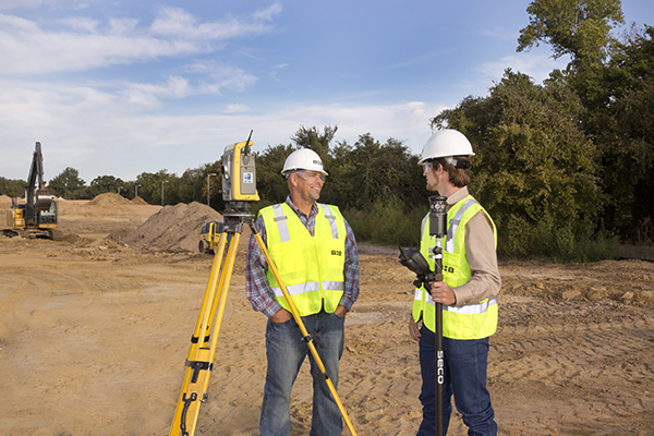
The public at large often asks, “Why should I have my land surveyed by a Registered Professional Land Surveyor as opposed to trusting GIS databases or my real-estate agent’s opinion?” First, let’s define what a Registered Professional Land Surveyor is. A Registered Professional Land Surveyor is an accredited professional who conducts land surveys to measure and define real property and its boundaries.
Many GIS systems, including those which realtors use, are approximate, and depending on the area, it can have differences of a few feet to a few hundred feet. Much of it can depend on the property size but also on the history of the area. Most error is not accounted for in GIS systems because their purpose is not to show precise and accurate property boundaries; their purpose is to get you to the vicinity and show you and your city, county, or state a diagrammatical look at your property and the area surrounding your property.
When planning on adding improvements to your property (for example, a sunroom addition, a pool, placing a fence, expanding a driveway, etc.), you generally have to get a building permit. To obtain a building permit, in most cases, you must submit a proposed plan that conforms to your city’s building code and the governing laws of your county and state, including but not limited to zoning ordinances that determine property setbacks. These dimensions need to be measured accurately and precisely. In most cases, plus or minus one foot is not accurate or precise enough; the required accuracies and precisions are closer to plus or minus one-tenth of a foot. These are issues that non-surveyors are not trained to address. Merriam-Webster defines accuracy as the ‘degree of conformity of a measure to a standard or a true value.’ Merriam-Webster defines precision as ‘the degree of refinement with which an operation is performed, or a measurement stated.’ It is possible to have accuracy without precision or to have precision without accuracy. In the matter of a land survey, you need both.
Another common reason that residential property owners may need to know where their property boundaries lie could be a dispute with a neighbor. In this case, too, you need a land surveyor licensed to practice in your state.
Let’s address accuracy and precision:
Registered Professional Land Surveyors are the only people with the training and the equipment capable of measuring land at a level of accuracy and precision to guarantee repeatable results. There is much more to measuring land than just taping a line on the ground. Each circumstance requires a specific methodology and the ability to explain that methodology so that you, your neighbor, the city, county, and state can all have the confidence that the property boundary is located in the proper position. Not only are Registered Professional Land Surveyors the only people that have this training, but because of their specialized training and equipment, they are also the only ones allowed by law to complete this task. Registered Professional Land Surveyors have years of training and practice, and they have passed a state-specific exam proving they have the proper training to complete these tasks correctly before they are issued a license and given the right to practice professional land surveying.
Another concern is legal standing:
When a Registered Professional Land Surveyor is retracing property lines, they are not just measuring but also reviewing the entire body of evidence surrounding specific property locations so that they can be sure they can come up with the correct resolution for not only their client’s property, but all the properties that surround and adjoin that client’s property, and that solution can be defended in a court of law. There are evidence and decisions a Registered Professional Land Surveyor must find and make that even attorneys and judges cannot make without consultation from a Registered Professional Land Surveyor. When your land is surveyed by a Registered Professional Land Surveyor, the survey has legal standing with the city, county, and state. Registered Professional Land Surveyors do not practice law, but their opinion on boundary location and evidence is admissible in a court of law and will be used by the judge or jury to determine a proper judgment and resolution.
Your realtor, GIS databases, architects, and civil engineers cannot offer this service unless they also possess a license to perform professional land surveying in your state. Your landscape contractor, general contractor, pool guy, or neighbor’s computer-savvy kid cannot offer these services either. Using sources other than a Registered Professional Land Surveyor to locate property boundaries is an excellent way to end up in litigation without legal documentation or evidence to corroborate your opinion of your property location.
Yes, a properly done boundary survey can be expensive, depending on the property’s size, complexity, and history. However, litigation or demolishing an ill-placed improvement can be exponentially more costly and time-consuming. Although it may not seem like it, hiring a Registered Professional Land Surveyor will save you money and time in the long run.
As they say, “You think hiring a Land Surveyor is expensive? Try not hiring one!”


