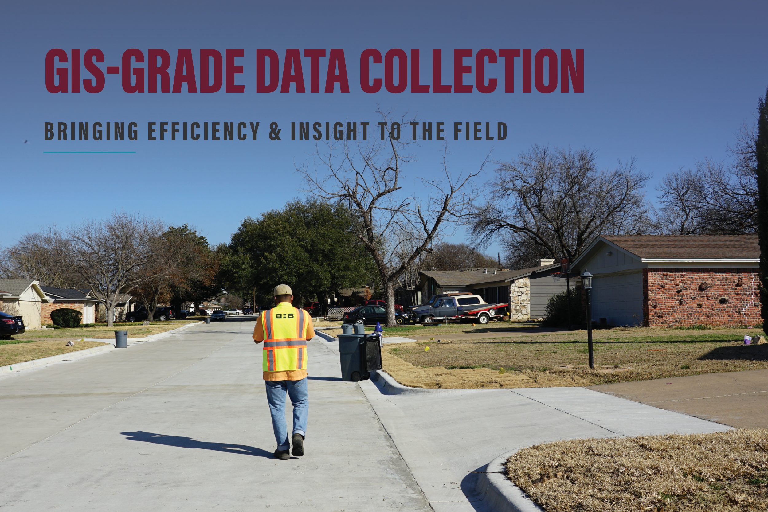


At Baird, Hampton & Brown (BHB), we’re enhancing our fieldwork and analysis using GIS-grade data collection technology, bridging the gap between traditional surveying and modern geographic information systems.
Recently, BHB used this technology to assist a North Texas city through a multi-phase parks assessment to better understand infrastructure conditions, prioritize improvements, and plan for future investments.
Transforming Park Assessments with GIS-Grade Technology
For one city’s extensive park system, which included nearly 300 individual parks, BHB conducted a three-phase drainage and erosion assessment to identify high-priority areas for improvements.
Phase 1: Desktop Review
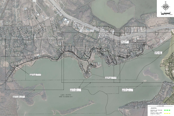
The first phase involved a GIS-based desktop evaluation of all parks in the system. Using aerial imagery, FEMA floodplain data, wetland mapping, and city stormwater infrastructure layers, BHB identified parks most at risk of drainage and erosion issues. Parks meeting key risk criteria such as proximity to floodplains, wetlands, or outfalls — were ranked for further field evaluation, while low-risk sites were documented as lower priority.
Phase 2: Field Assessment
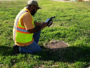
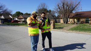
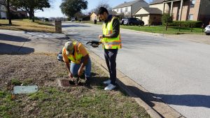
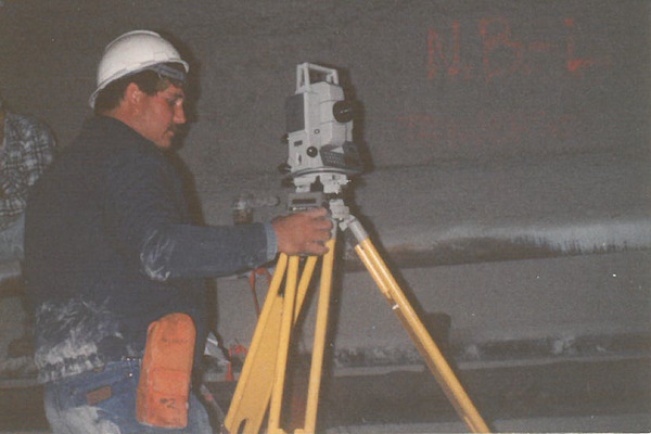
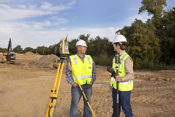
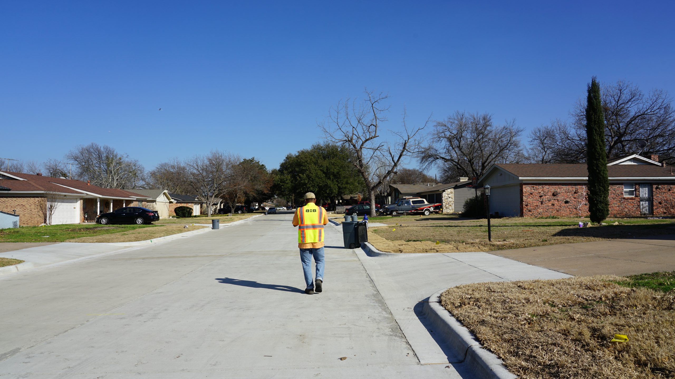
Next, BHB’s team visited the higher-risk parks to conduct on-site assessments. Using a GIS-grade data collection app connected to a high-accuracy GNSS receiver, field teams documented conditions directly in the field, no clipboards or manual notes required.
Photos, locations, and comments were captured in real time, allowing drainage issues in ponds, streams, culverts, and storm drains to be efficiently recorded and categorized. Each park was scored based on drainage, erosion, and safety concerns, helping the city quickly identify which sites required the most attention.
Phase 3: Concept Design and Cost Opinions
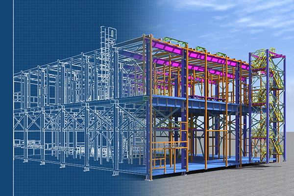
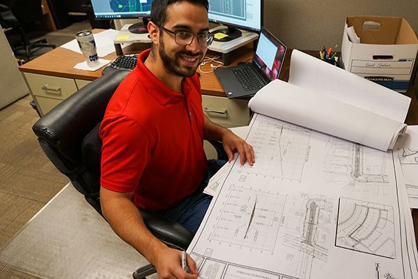
In the final phase, BHB developed 30% concept-level plans and opinions of probable construction costs (OPC) for the eight parks with the greatest identified needs. These concept plans featured detailed site diagrams, recommended drainage improvements, and cost estimates to help the city prioritize future capital projects.
Advantages of GIS-Grade Data Collection
Using GIS-grade data collection tools allows BHB’s team to work more efficiently in the field and deliver more actionable insights to our clients. Key benefits included:
- Time Savings: Data collection, photos, and locations were captured simultaneously, eliminating the need for handwritten notes and manual data entry back in the office.
- Improved Organization: All field data, from photos to coordinates — was automatically stored and linked to each site, making reporting and analysis more seamless.
- Enhanced Collaboration: Because the data was digital, project teams could easily share maps, findings, and updates across disciplines in real time.
While GIS-grade data is not as precise as survey-grade equipment, it offers an ideal balance of accuracy and efficiency for planning and assessment-level projects. For large-scale evaluations like park systems or utility networks, this technology provides a fast, reliable way to visualize issues and guide decision-making.
Turning Data Into Better Decisions
Whether it’s assessing city parks, evaluating stormwater infrastructure, or supporting water system planning, BHB continues to embrace innovative technologies that help our clients make informed, data-driven decisions.